
ABOUT US


Who We Are
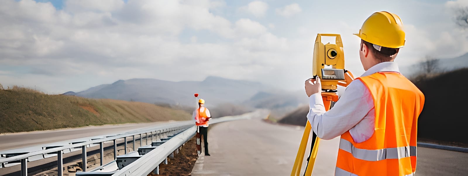
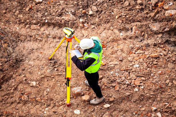
Land Survey Team was established to assist in the development of various works such as topographic, cadastral, hydrographic, and other surveys. The company has been providing a wide range of survey services for government organizations, including PWD, RHD, BWDB, BADC, LGED, DPHE, PDB, GTCL, DCC, KDA, DWASA, CWASA, and KWASA, as well as for non-government and private entities. With a strong reputation and standing, the team has been engaged in conducting all types of surveys, particularly topographic and bathymetric surveys. They are also involved in data collection, processing, analysis, interpretation, report preparation, and providing consultancy services related to land surveys, hydrographic surveys, and hydraulic structure design, consistently satisfying the requirements of clients. The team received approval from the Surveyor General of Bangladesh in recognition of its expertise and services.
History
DELTA SURVEY is a surveying and mapping firm providing consulting services to both the public and private sectors. With our expert team members, we are committed to providing better services.
- 2013 - DELTA SURVEY was established
Mission
Our Survey Company Mission: To provide precise, reliable, and innovative surveying solutions that empower clients to plan and execute their projects with confidence. We are dedicated to delivering high-quality data, fostering sustainable development, and building lasting partnerships through professionalism, accuracy, and integrity.
Vision
Our Survey Company Vision: To become a leading provider of advanced surveying and mapping solutions, leveraging cutting-edge technology and expertise to shape the future of infrastructure development, environmental sustainability, and urban planning. We aim to set new standards in accuracy, efficiency, and customer satisfaction.